|
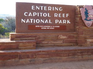
Leaving Natural Bridges National Monument, we drove through the
Glen Canyon National Recreational Area, then into Capital Reef National
Park. Vast warping of rock created 65 million years ago by the uplifting
of the Colorado Plateau is called the Waterpocket Fold. The park
preserves the Fold and its eroded jumble of colorful cliffs, massive
domes and twisted canyons. In addition to the geologic formations,
there is archeological evidence of the ancient Fremont Culture and
vestiges of a historic Mormon settlement. The area became a national
park in 1971.
TO SEE A FULL SIZE PICTURE, CLICK ON THE PHOTO
 |
 |
 |
|
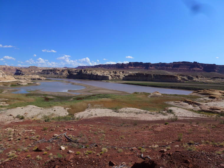
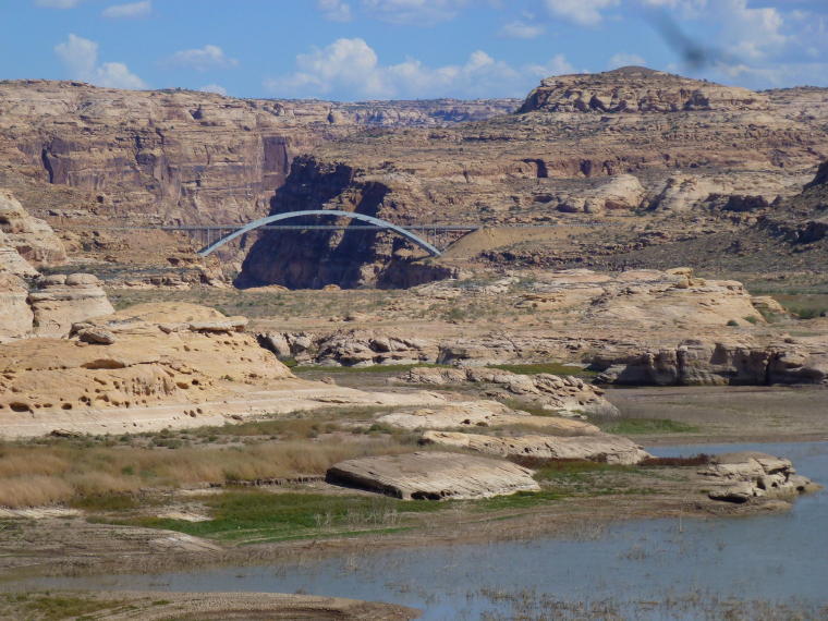
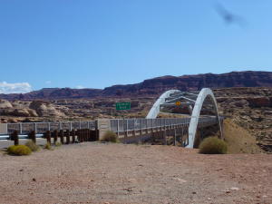
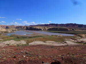
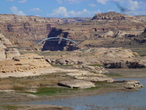
Glen Canyon National Recreation Area
|
The Colorado River flows through the area
|
|
 |
|
 |
|
|
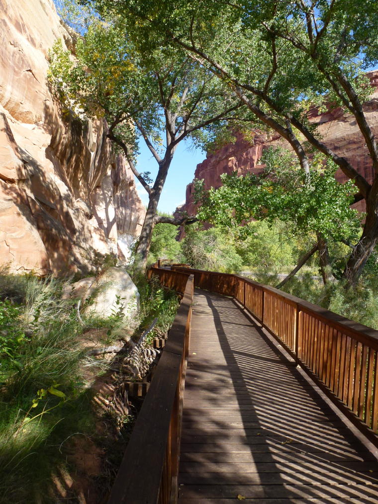
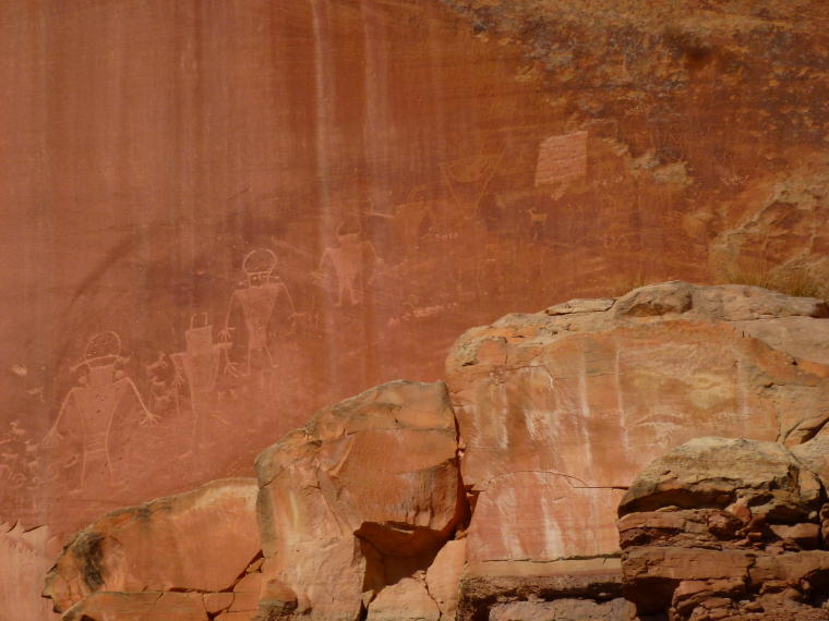
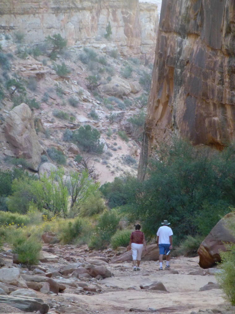
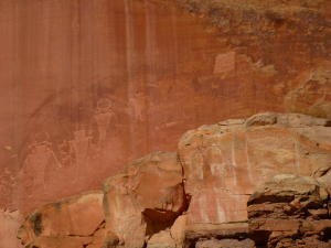
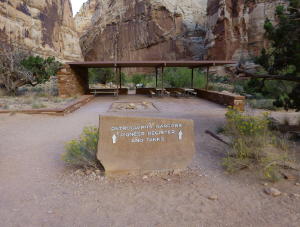
Walkway to Petroglyphs
|
Petroglyphs from Fremont Culture. They lived
in the Fremont River valley from 700 until sometime after
1250.
|
|
|
|
 |
|
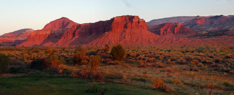
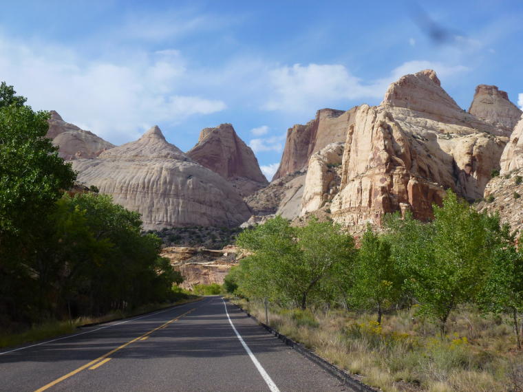
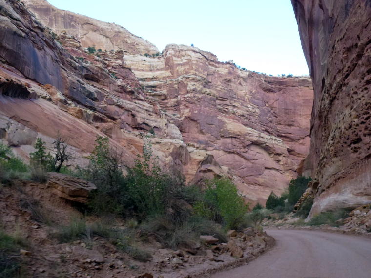
Road into the park
|
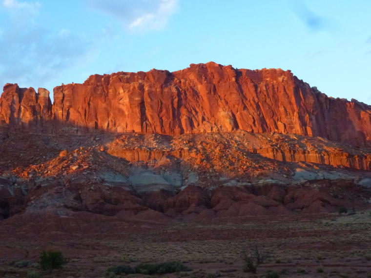
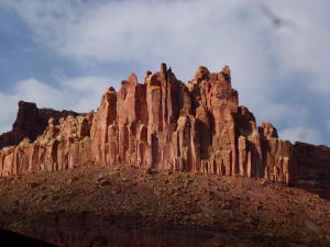
With soaring white Navajo sandstone domes
and nearly impassable ridges, sometimes called reefs, this
scenic area gives the park its name.
|
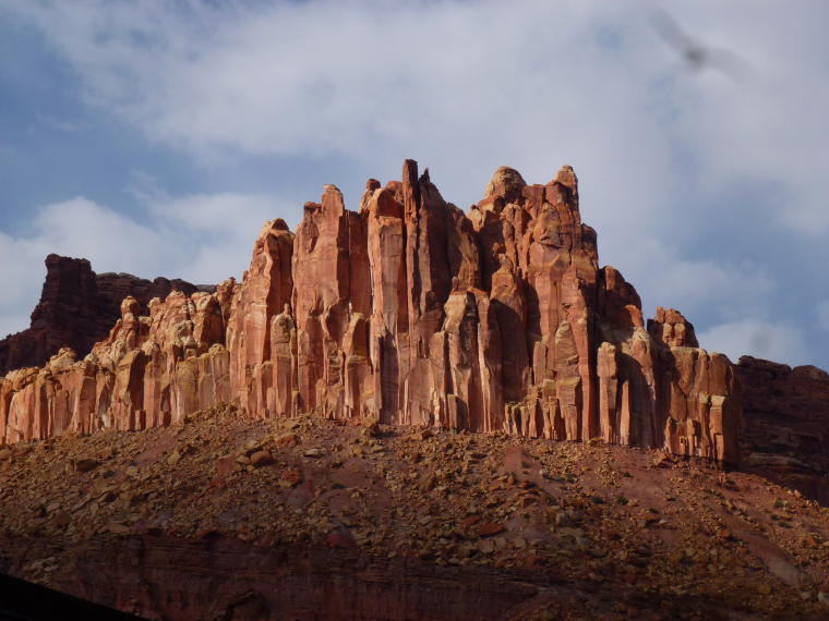
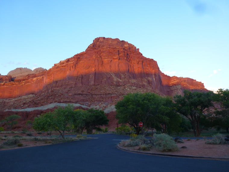
The Castle
|
 |
 |
|
|
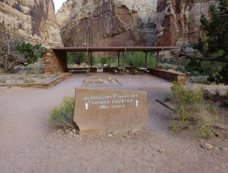
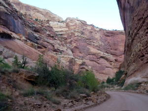
Capital Gorge drive
|
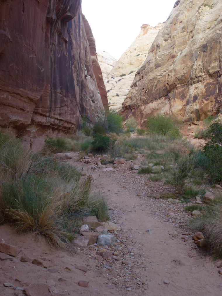
Capital Gorge Trail
|
We set off on the trail between deep canyon
walls.
|
|
|
|
 |
|
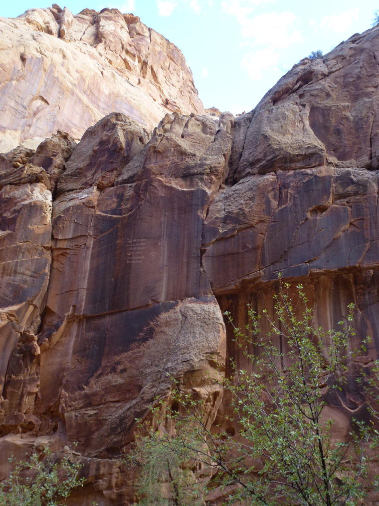
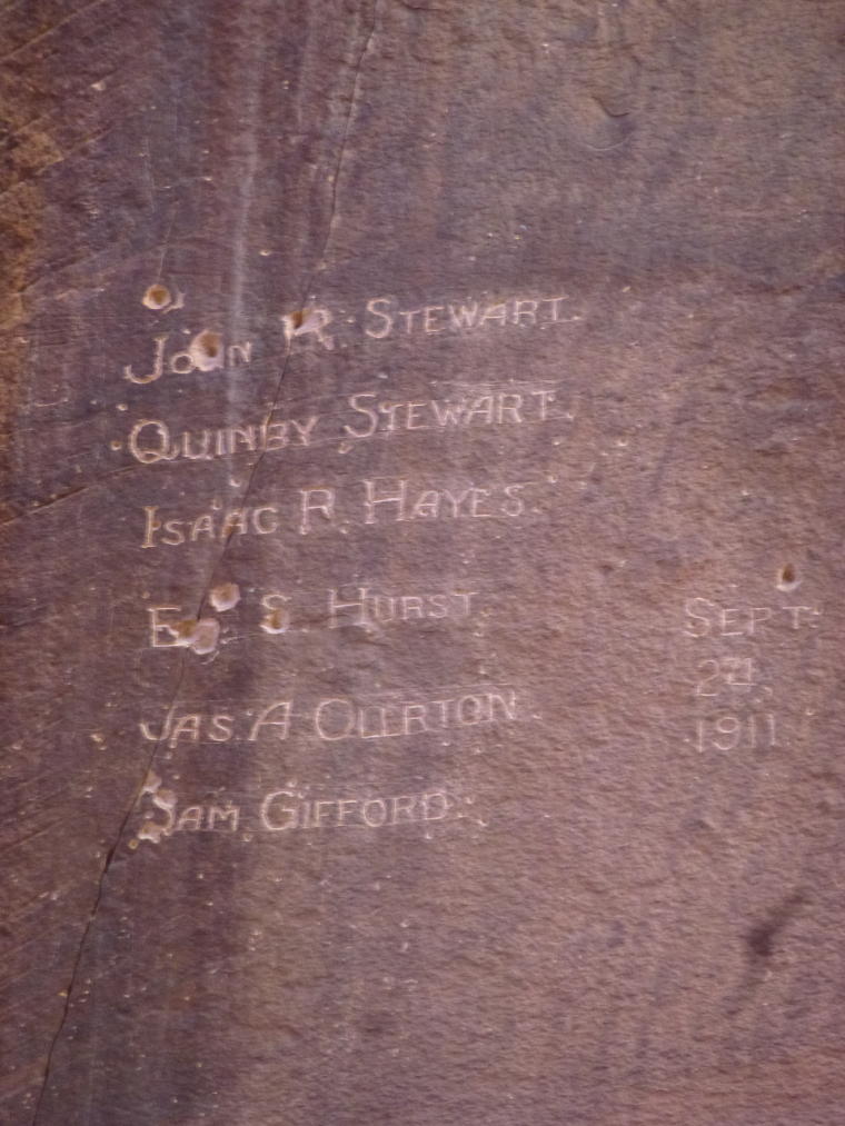
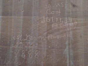
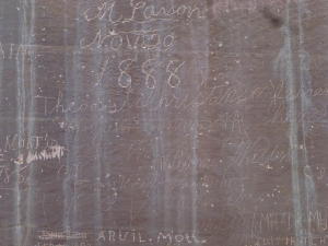
Pioneer Register - High on the cliffs is
a list of names carved by the early canyon travelers(see next
photo)
|
Mormon Pioneers carved their names on the
rock face
|
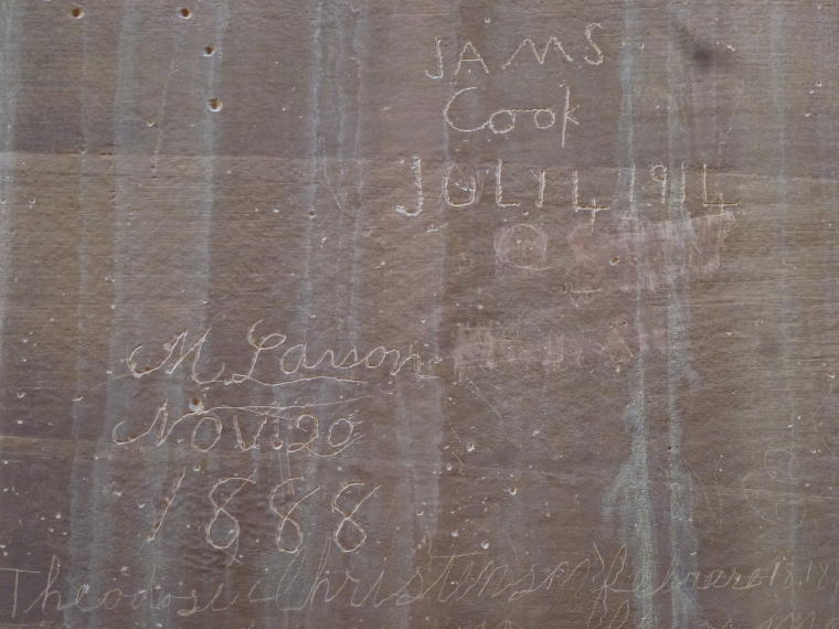
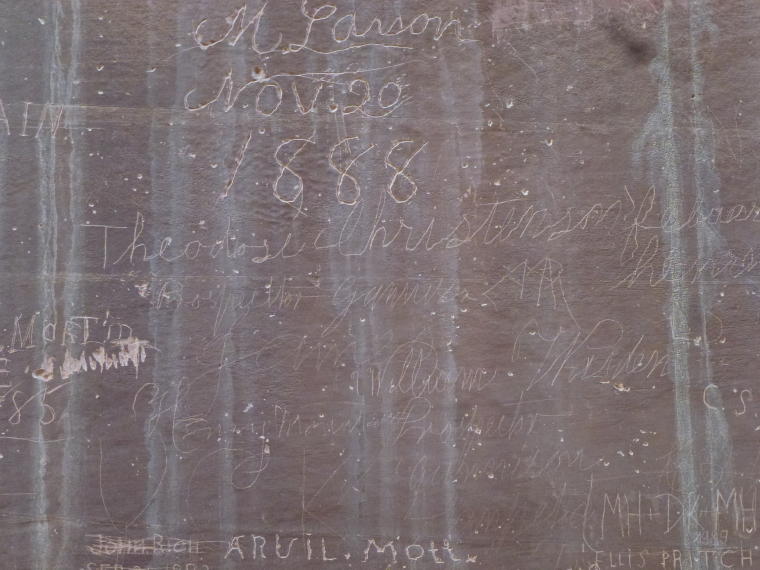
More names
|
 |
|
 |
|
|
Capital Gorge Trail
|
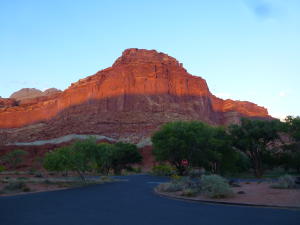
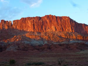
As we drove out of the park, the sun was
setting.
|
 |
|
|
| |
|
|
Home
Locations Visited Photos Map
Contact Us
|