|
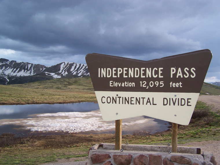
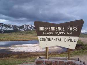 Independence
Pass lies about 15 miles east of the town of Aspen on Highway 82.
Since Aspen lies at about 8000 ft. elevation, it is quite a climb
up to the pass and the road is very narrow and windy. No vehicles
over 30 ft. should attempt to go over the pass. And it is closed
in winter from about early Nov. until July. But the ride up to the
top is well worth the drive when it is open. Independence
Pass lies about 15 miles east of the town of Aspen on Highway 82.
Since Aspen lies at about 8000 ft. elevation, it is quite a climb
up to the pass and the road is very narrow and windy. No vehicles
over 30 ft. should attempt to go over the pass. And it is closed
in winter from about early Nov. until July. But the ride up to the
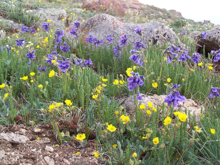
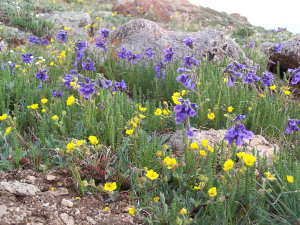
top is well worth the drive when it is open. 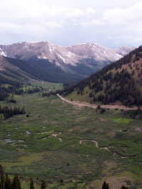 The
views are spectacular and it is amazing to see the colorful wild
flowers poking through the high tundra. The
views are spectacular and it is amazing to see the colorful wild
flowers poking through the high tundra.
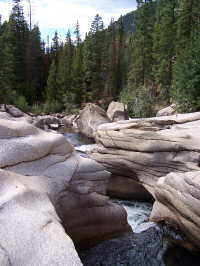
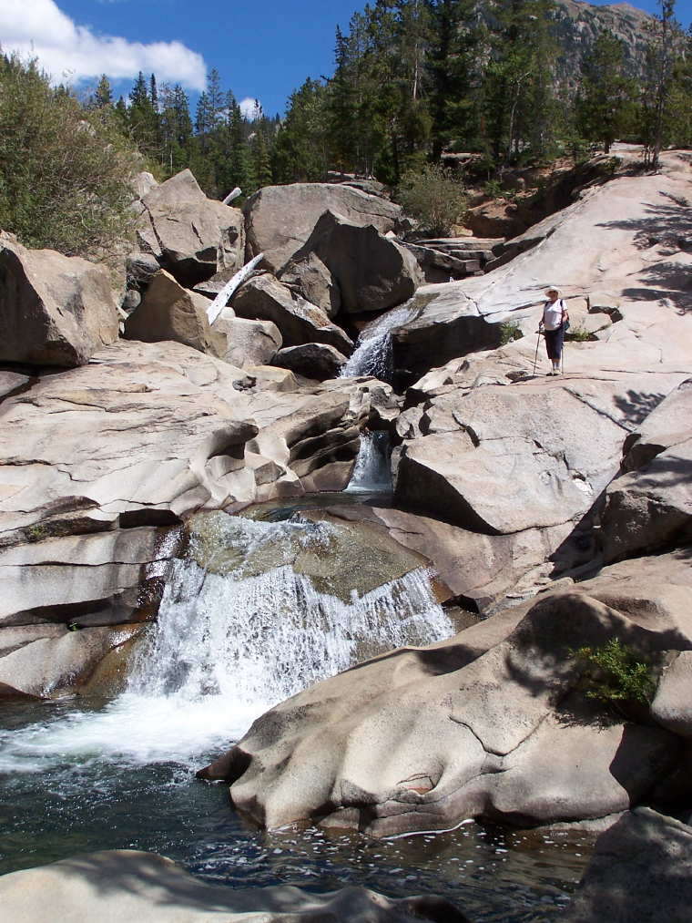
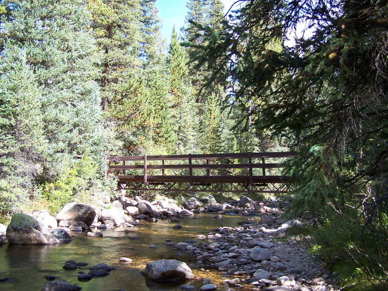
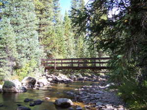
There are many interesting hiking trails on the way to the summit.
An easy and popular hike is the Grotto Trail which has huge rock
formations and caves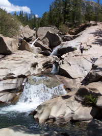 . .
 Another
interesting trail is the Braille trail which is designed so the
blind can experience the wonders of nature. Trail signs are in English
and Braille and there is a cable running along the left side of
the trail to guide the way. It is suggested that sighted people
first hike the trail with their eyes open and then do it again with
their eyes closed. With eyes closed you will be more attuned to
the sound and smells along the trail. Another
interesting trail is the Braille trail which is designed so the
blind can experience the wonders of nature. Trail signs are in English
and Braille and there is a cable running along the left side of
the trail to guide the way. It is suggested that sighted people
first hike the trail with their eyes open and then do it again with
their eyes closed. With eyes closed you will be more attuned to
the sound and smells along the trail.
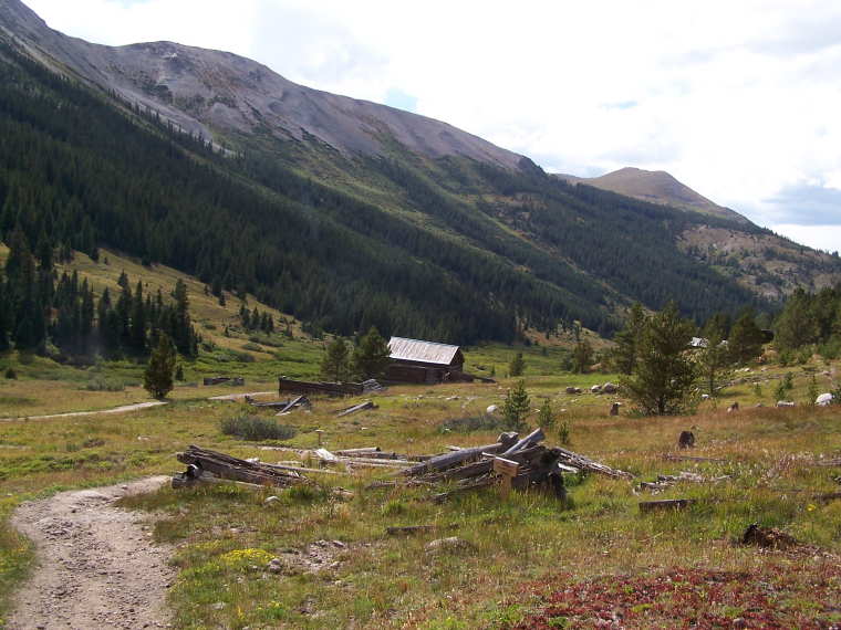
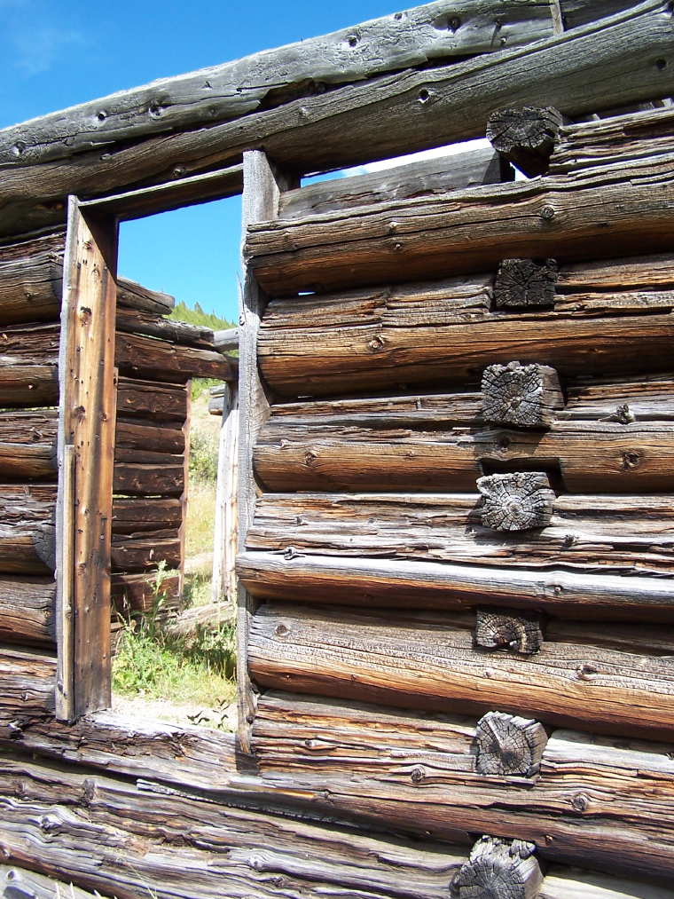
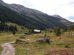 Just
before reaching the summit is the historic townsite of the old mining
town of Independence. Some of the buildings have been preserved
and there are guides in the summer to tell you stories about life
during the town's hayday. Just
before reaching the summit is the historic townsite of the old mining
town of Independence. Some of the buildings have been preserved
and there are guides in the summer to tell you stories about life
during the town's hayday.
To view more photos from this area click here:
Photo Gallery
Home Location
Descriptions Photos Map
Contact Us
|